Browns Island

|
This page is a Stub |
| Further content needs to be added. For changes please drop a note to the webmaster. |
|
<googlemap lat="-36.825226" lon="174.914017" type="satellite" zoom="11">-36.83347, 174.894791, Motukorea</googlemap> |
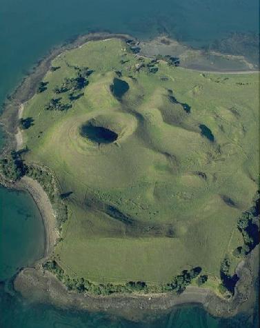
Motukorea (Browns Island) has many archaeological features. On this image a pa (fortifications) can be seen at the summit and there are two other pa visible. Field boundaries - some historic - can also be seen. Photo: DOC - Kevin Jones. |
Published Papers
Dodd, A. Brown's cows and the Motukorea archaeological landscape. Archaeology in New Zealand 51(2):77-94.
