Difference between revisions of "Tamaki River Narrows Sites - Visit"
(→What:) |
|||
| Line 40: | Line 40: | ||
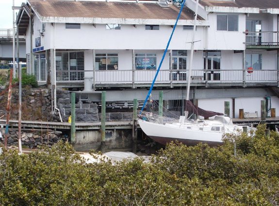
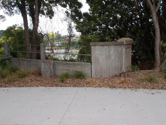
[[File:Bridge2x.jpg|framed|The abutments of the second bridge.]] | [[File:Bridge2x.jpg|framed|The abutments of the second bridge.]] | ||
| + | |||
| + | ===Concrete Road 1931=== | ||
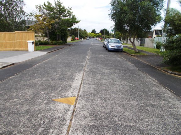
[[File:Concroad.jpg|framed|The concrete road in Kerswill Place.]] | [[File:Concroad.jpg|framed|The concrete road in Kerswill Place.]] | ||
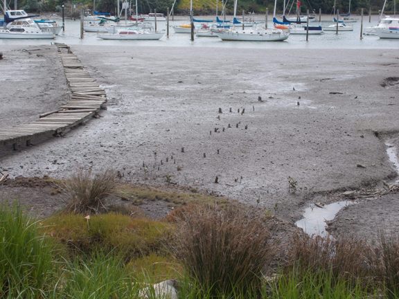
| − | === | + | ===Landing Places=== |
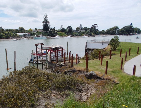
[[File:Wharf.jpg|framed|The two landing places.]] | [[File:Wharf.jpg|framed|The two landing places.]] | ||
Revision as of 12:05, 17 November 2013
Contents
Tamaki River Narrows Sites
| SITE TO VISIT | |
|---|---|
| Tamaki River Narrows Sites | |
| - | |
| | |
| | |
| Ethnicity: | European |
| Site type: | Bridges and maritime features |
| Where: | East side of the Tamaki River at Panmure |
| How to get there: | Park in Kerswill Place - use the Rotary walkway. |
| How Long to allow: | 45 minutes. |
| Disclaimer | |
Location:
What:
An assemblage of related sites concentrating on the narrowest section of the Tamaki River - a tidal channel on Auckland's eastern side.
First Bridge 1865
The first bridge here survives in part - and was recently restored. It is a swinging section sitting on a turntable with a geared turning mechanism.
Second Bridge 1916
Concrete Road 1931
Landing Places
Fish Trap Stakes?
Web Info:
The first bridge has an IPENZ heritage register listing - http://www.ipenz.org.nz/heritage/itemdetail.cfm?itemid=2336
