Difference between revisions of "Miners Head - Visit"
(→Miners Head Great Barrier Island) |
(→Miners Head Great Barrier Island) |
||
| (One intermediate revision by the same user not shown) | |||
| Line 16: | Line 16: | ||
}} | }} | ||
| − | + | ||
| − | -36.073834, 175.339522 | + | {{#display_map: |
| − | + | -36.073834, 175.339522~ The mine; | |
| + | | height= 400px | ||
| + | | width= 600px | ||
| + | | type=satellite | ||
| + | | zoom=14 | ||
| + | }} | ||
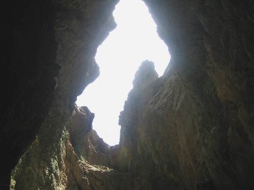
[[File:Minershead.jpg|framed|right|The mine]] | [[File:Minershead.jpg|framed|right|The mine]] | ||
Latest revision as of 20:52, 4 August 2013
Miners Head Great Barrier Island
| SITE TO VISIT | |
|---|---|
| Miners Head Great Barrier Island | |
| ' | |
| | |

| |
| Ethnicity: | European |
| Site type: | Copper mine site |
| Where: | North western point of the island. |
| How to get there: | By boat is the most practical way. Readily visible from the water. |
| How Long to allow: | 30 minutes at the site. |
| Disclaimer | |
Loading map...
What:
New Zealand's first mine, 1842-1867, mined for copper.
What else to do there:
Enjoy the island atmosphere. The SS Wairarapa wreck is in the next bay to the north east - but needs to be dived on to be seen. An accessible grave site of the wreck victims is at Whangapoua Beach.
Web info:
http://www.doc.govt.nz/templates/page.aspx?id=34083
