|
|
| Line 2: |
Line 2: |
| | Excavated in February 2012. | | Excavated in February 2012. |
| | | | |
| − | <googlemap lat="-35.168248" lon="174.09561" zoom="17">
| + | {{#display_map: |
| − | -35.18437, 174.164616, Bay Of Islands, New Zealand
| + | |
| − | -35.168827, 174.095761, Marsden Cross | + | -35.168827, 174.095761~Oihi, Marsden Cross; |
| − | </googlemap>
| + | (showing a plain label) |
| | + | | height= 400px |
| | + | | width= 600px |
| | + | | type=satellite |
| | + | | zoom=17 |
| | + | }} |
| | + | |
| | | | |
| | ---- | | ---- |
Revision as of 23:01, 22 October 2017
Marsden Cross
Excavated in February 2012.
Loading map...
{"minzoom":false,"maxzoom":false,"mappingservice":"leaflet","width":"600px","height":"400px","centre":false,"title":"","label":"","icon":"","visitedicon":"","lines":[],"polygons":[],"circles":[],"rectangles":[],"wmsoverlay":false,"copycoords":false,"static":false,"zoom":17,"defzoom":14,"layers":["OpenStreetMap"],"overlaylayers":[],"resizable":false,"enablefullscreen":false,"scrollwheelzoom":true,"markercluster":false,"clustermaxzoom":20,"clusterzoomonclick":true,"clustermaxradius":80,"clusterspiderfy":true,"locations":[{"text":"\u003Cb\u003E\u003Cdiv class=\"mw-parser-output\"\u003E\u003Cp\u003EOihi, Marsden Cross\n\u003C/p\u003E\u003C/div\u003E\u003C/b\u003E\u003Chr /\u003E\u003Cdiv class=\"mw-parser-output\"\u003E\u003C/div\u003E","title":"Oihi, Marsden Cross\n","link":"","lat":-35.16882700000000028239810490049421787261962890625,"lon":174.095761000000010199073585681617259979248046875,"icon":""}],"imageoverlays":null}
Oihi - Marsden Cross

The Archaeological investigations are a joint project between the University of Otago and the Department of Conservation. Aimed at discovering more about New Zealand's first permanent European Settlement and Mission Station.
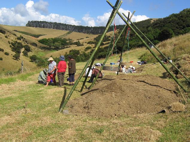
The excavation underway.
2012 Excavations
External Links
Dig facebook page
DOC page
