Pawhetau, Waitawa Regional Park - Visit
Contents
Pawhetau, Waitawa Regional Park - Visit
| SITE TO VISIT | |
|---|---|
| Pawhetau Pa site | |
| ' | |
| | |

| |
| Ethnicity: | Maori |
| Site type: | Pa |
| Where: | Waitawa Regional Park |
| How to get there: | Car, about 50 minutes from the city. |
| How Long to allow: | 2 hours for just the pa. |
| Disclaimer | |
Location:
Waitawa Regional Park, near Kawakawa Bay
What
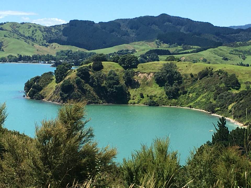
Headland Pa (fortified village), under grass for the greater part. There are multiple lines of ditch defences and a large area of terracing.
Park at the carpark at the entrance to the park and follow the path to the site, marked by poles (20 mins to the site).
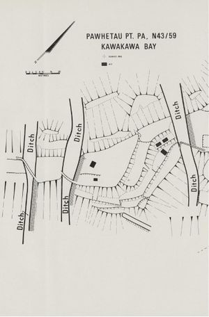
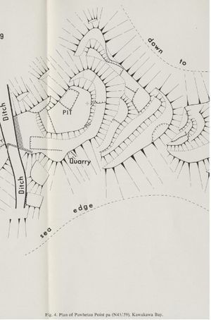
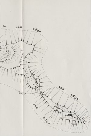
Aileen Fox has written about the site (See link in Web Info below) Her map of the site is shown below.
| Map of the Pa from Fox | ||
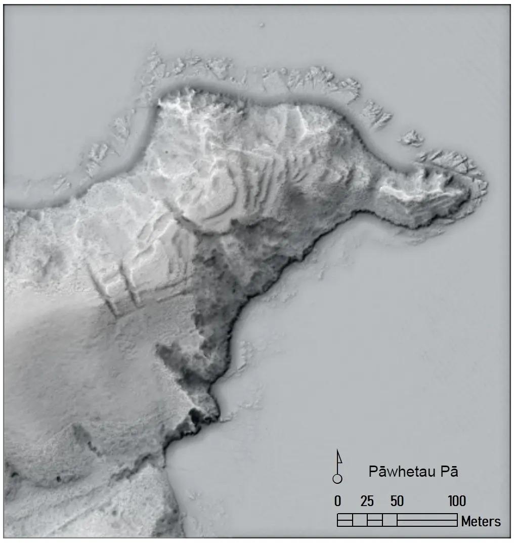
Lidar Image
Lidar is a version of radar using light rather than radio frequencies, which can illustrate fine detail of the ground surface.
Video Visit
A pa site visit with archaeologist Vanessa Tanner
What else to do there:
There are two other pa on the park, industrial remains from the former magazine use including a wharf. Fishing, swimming, walks.
Web info:
Auckland Council webpage on Waitawa. https://www.aucklandcouncil.govt.nz/parks-recreation/Pages/park-details.aspx?Location=3402
Aileen Fox THE PA, N43/59, AT PAWHETAU POINT, KAWAKAWA BAY, CLEVEDON, SOUTH AUCKLAND Records of the Auckland Institute and Museum Vol. 11 (December 17th, 1974), pp. 15-22 https://www.jstor.org/stable/42906204?fbclid=IwAR2SlPzfERHyTC8iq8TalQotEbxx-fqE54EraJZ1l6_2T0Tb0p7UWY1pZX8
Wikipedia's article on the park: https://en.wikipedia.org/wiki/Waitawa_Regional_Park
