Te Porere Redoubt - Visit
Contents
Te Porere Redoubts
| SITE TO VISIT | |
|---|---|
| Te Porere Redoubts | |
| - | |
| | |

| |
| Ethnicity: | Maori |
| Site type: | Fortification |
| Where: | State Highway 47 26 km southwest of Turangi, near Tongariro National Park Look for signpost, carpark is off main highway. |
| How to get there: | Car |
| How Long to allow: | 30 minutes at the site. One hour overall |
| Disclaimer | |
Location
<googlemap lat="-39.044586" lon="175.587873" zoom="15"> -39.046596, 175.58633, Te Porere Redoubt - Upper redoubt -39.046379, 175.59119, Lower redoubt </googlemap>
Visiting:
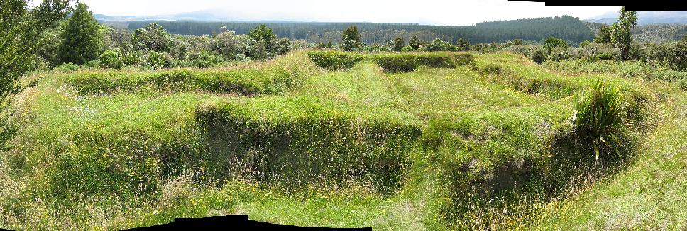
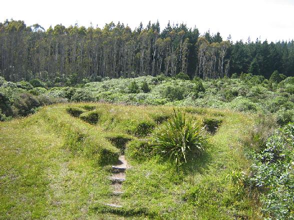
The lower redoubt is a short easy walk from the car park - the upper redoubt is up a steeper track - but it is well formed. Good interpretation and viewing platforms.
What:
Maori fortifications, built by Te Kooti in the last stages of his resistance to Colonial Forces. They were attacked in 1869 and Te Kooti's supporters ousted with severe loss of life. It was the last major engagement of the New Zealand wars.
Web Info:
Department of Conservation page
What else to do there:
The natural resources of Tongariro National Park - a world heritage site. Look out for rare Blue Ducks from the bridge over the stream just out from the car park.
Publications:
Wilson Ormond, 1961. War in the tussock, Te Kooti and the battle at Te Porere. Government Printer, Wellington.
The Upper Redoubt

