Difference between revisions of "Te Porere Redoubt - Visit"
| Line 1: | Line 1: | ||
| − | == Te Porere | + | == Te Porere Redoubts == |
{{Infobox Sitetovisit | | {{Infobox Sitetovisit | | ||
| Line 22: | Line 22: | ||
</googlemap> | </googlemap> | ||
| + | ===Visiting=== | ||
| + | The lower redoubt is a short easy walk from the car park - the upper redoubt is up a steeper track - but it is well formed. Good interpretation and viewing platforms. | ||
===What:=== | ===What:=== | ||
Revision as of 15:22, 23 January 2013
Contents
Te Porere Redoubts
| SITE TO VISIT | |
|---|---|
| Te Porere Redoubts | |
| - | |
| | |

| |
| Ethnicity: | Maori |
| Site type: | Fortification |
| Where: | State Highway 47 26 km southwest of Turangi, near Tongariro National Park Look for signpost, carpark is off main highway. |
| How to get there: | Car |
| How Long to allow: | 30 minutes at the site. One hour overall |
| Disclaimer | |
Location
<googlemap lat="-39.044586" lon="175.587873" zoom="15"> -39.046596, 175.58633, Te Porere Redoubt - Upper redoubt -39.046379, 175.59119, Lower redoubt </googlemap>
Visiting
The lower redoubt is a short easy walk from the car park - the upper redoubt is up a steeper track - but it is well formed. Good interpretation and viewing platforms.
What:
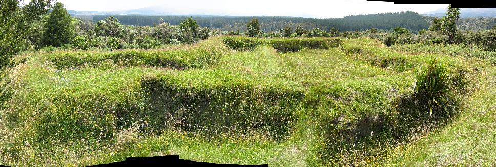
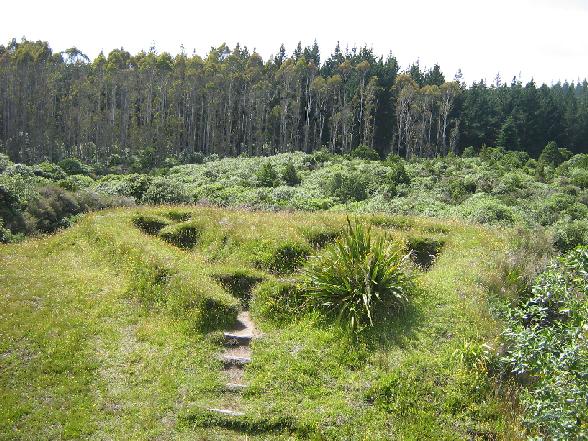
Maori fortifications, built by Te Kooti in the last stages of his resistance to Colonial Forces. They were attacked and the defendants ousted with severe loss of life.
Web Info:
Department of Conservation page
What else to do there:
The natural resources of Tongariro National Park - a world heritage site.
The Upper Redoubt

